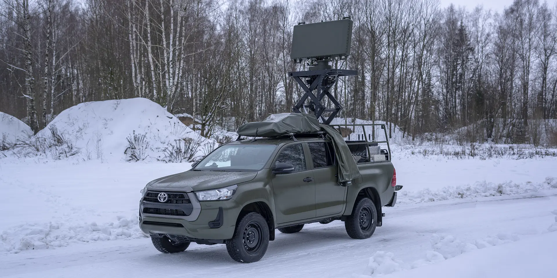
Designation
Automatic detection, measurement of the coordinates (azimuth, range and elevation) and tracking of low-flying aerial objects (AO) as well as targets at medium and high altitudes, calculation of their route parameters (heading, ground speed, range rate and height), target automatic classification and target tracking under the influence of passive and active jamming within the assigned zones, output of radar information to a user according to the assigned protocol.
Design features
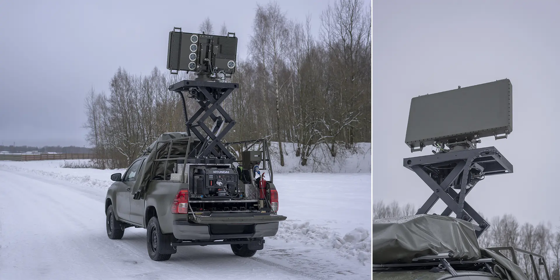
— the antenna system is an active planar phased antenna array (PAA);
— each transmitting element of the PAA has its own solid-state transceiver unit with digital forming of the probing signal modulation law;
— operating frequency tuning in both automatic and automated modes;
— space surveillance, detection of targets, measurement of the coordinates, recognition and calculation of target route parameters are automatic, without involvement of the operator;
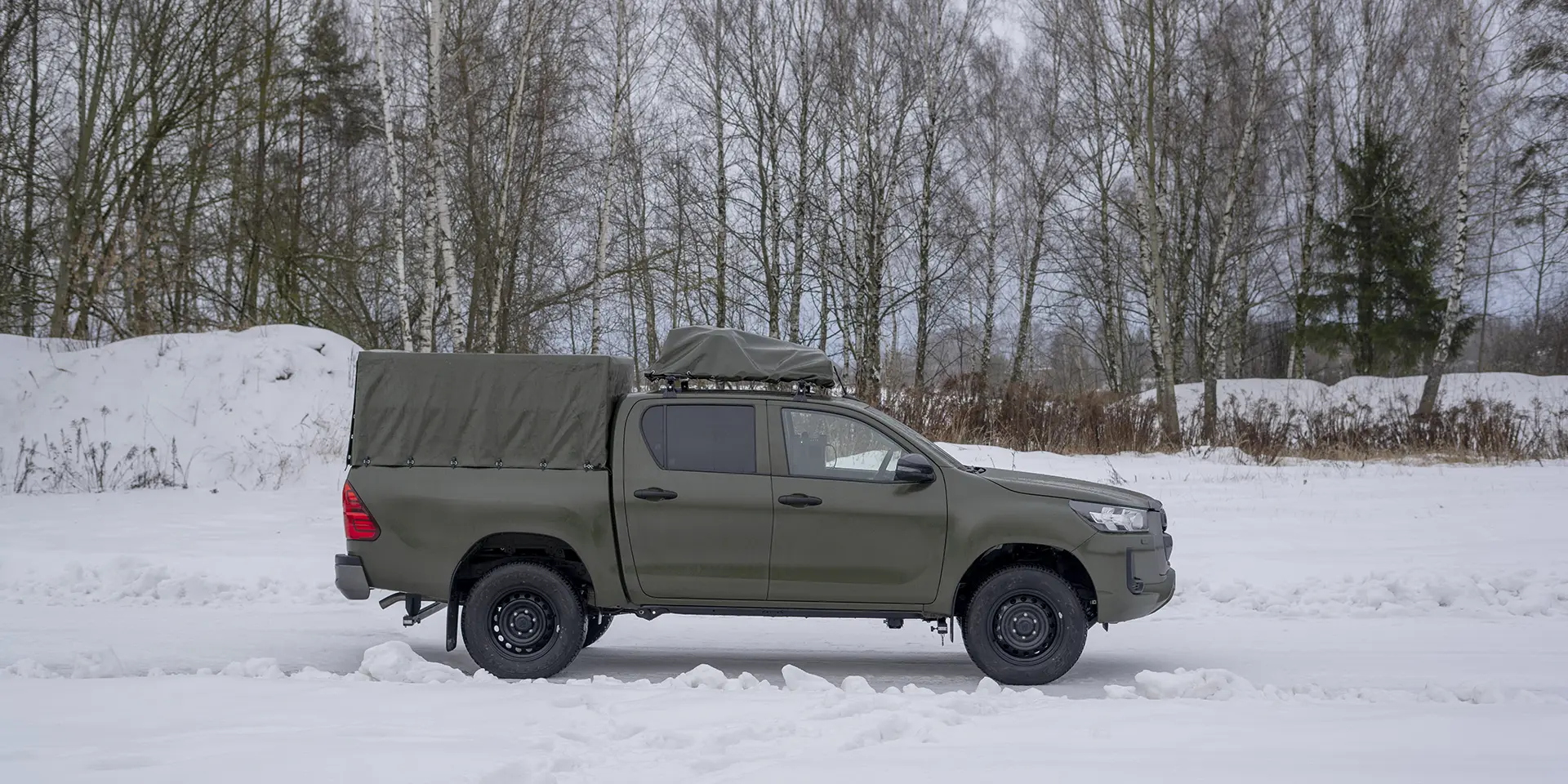
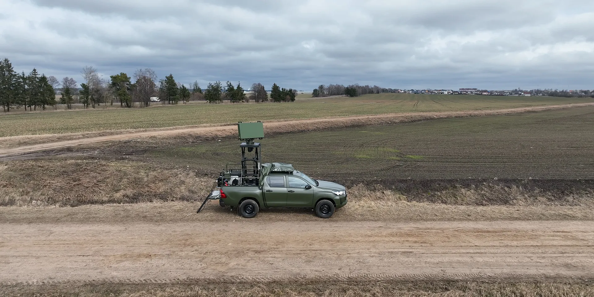
— the radar can be mounted on various stationary platforms, vehicle chassis, as well as on masts moved by auxiliary transport vehicles;
— the radar’s automated workstation can be remote-located at the user’s command post.
Operation modes
The radar employs two modes of airspace surveillance in range:
— searching for UAVs and other platforms with RCS of up to 1 m2 within range limits from 500 m to 20000 m;
— searching for all types of aerial targets with RCS of over 1 m2 within range limits from 2500 m to 60000 m.
There are two modes of airspace surveillance in elevation:
— scanning in elevation sector from 0 to 20°;
— scanning in elevation sector from 0 to 45°.
Specifications
| Parameters | Value |
| Frequency band | X |
| Polarization | vertical |
| Airspace scanning | |
| in azimuth | circular sequential |
| in elevation | simultaneous-parallel |
| Coverage: | |
| azimuth | 0–360° |
| range: searching for UAVs | 500–20000 m |
| range: searching for all other target types | 2500–60000 m |
| elevation | 0–20° and 0–45° |
| range rate | 5–1000 m/s |
| Root mean square errors of measurement | |
| range | maximum 30 m |
| azimuth | maximum 0.5° |
| elevation: in iso-range zone in elevation sector from 2 to 20˚ | maximum 0.58˚ |
| elevation: in iso-altitudinal zone in elevation sector from 20 to 45˚ | maximum 0.67˚ |
| The radar provides detection ranges with a conditional 0.5 true detection probability and 10-6 false alarm probability with the antenna height of 2.7 m and antenna rotation rate of 6 rpm | |
| multi-rotor type UAV with σt=0.001 m2 RCS at 100 to 500 m altitude | up to 7 km |
| fixed-wing UAV with σt=0.01 m2 RCS at 200 to 1000 m altitude | up to 12 km |
| fixed-wing UAV with σt=0.1 m2 RCS at 100 to 2000 m altitude | up to 25 km |
| Su-25 type attack aircraft or other AO with σt=1m2 RCS at 100 to 5000 m altitude | up to 45 km |
| MiG-29, F-16 type fighter or other AO with σt=2.5 m2 RCS at 100 to 8000 m altitude | up to 55 km |
| Mi-8, UH-60M type helicopter or other AO with σt=5 m2 RCS at 100 to 10000 m altitude | up to 60 km |
| Information update rate | 10 s, 5 s |
| AOs tracked simultaneously | |
| operation mode — searching for UAVs | minimum 50 |
| operation mode — searching for all other target types | minimum 100 |
| Time of continuous operation from external electrical networ | minimum 48 h |
| Activation time with functional check (BITE) | 5 min |
«Sorry, you have no rights to view this entry. To get a detailed catalog, please fill out the registration form»