Designation
“Imitator” is a software suite enabling generation of inputs (blips) from a three-dimensional radar (or a net of different radar types).
Features
— high degree of adequacy of the generated input impacts;
— a wide range of simulated objects and their three-dimensional trajectories;
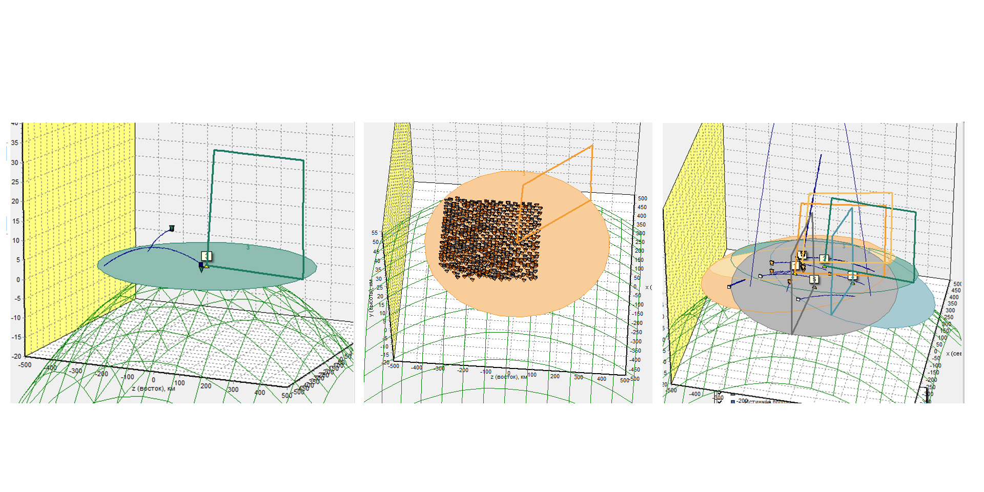
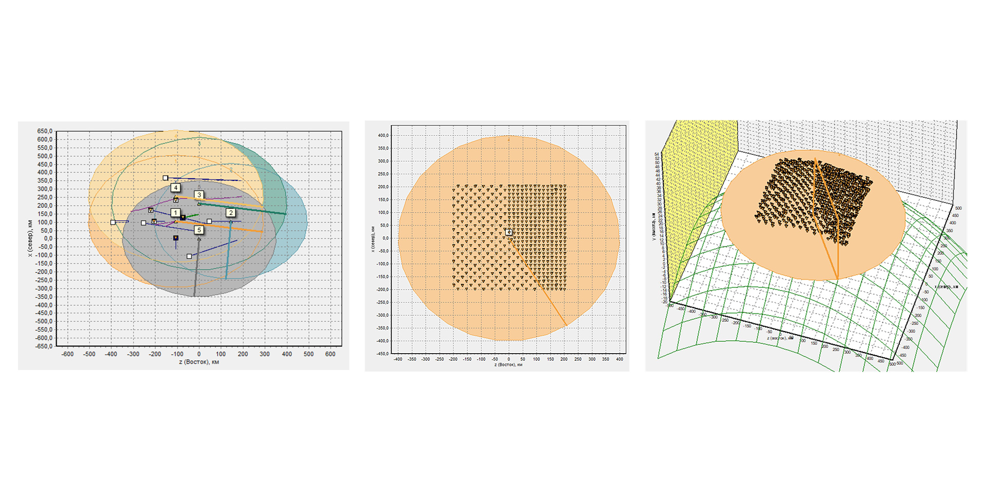
— simulation of three-dimensional trajectories of multiple targets in different combat formations (including with separation);
— generation of inputs from stationary and moving radars (including airborne radars) (or from a network of different radars);
— simulation of information output from secondary radar systems.
Capabilities
“Imitator” enables:
— generating inputs from a 3D radar (or a net of different radar types – 2D, 3D, height-finders) for the purposes of developing, debugging and testing trajectory processing systems based on the generated data during operation in a network or in research mode;
— conducting stress tests of radar information trajectory processing systems.
“Imitator” takes into account:
— characteristics of simulated surveillance radar (operation modes, output rate, antenna pattern shape, scanning method, resolution, measurement accuracy, detection characteristics, etc.);
— parameters of radar observation objects (geometric dimensions, RCS, parameters of motion, etc.);
— geographic location of the radar (including moving mobile versions) and influence of the Earth’s geoid;
— aerial/jamming environment (single trajectories and complex scenarios, operation of active jammers).
Characteristics
| Options | Meaning |
| Radar types | 2D, 3D, height–finders, secondary |
| Primary radar coordinates measured | azimuth, range, elevation, range rate |
| Number of trajectories modeled | up to 1000 |
| Simulated objects | per Customer’s requests |
| Objects involved in a single scenario: | |
| aerial vehicles | up to 100 (20 types) |
| ballistic missiles | up to 30 (25 types) |
| antiradiation missiles | up to 10 (10 types) |
| Angle surveillance methods modeled | sequential, parallel, mixed |
| Coordinate systems | spherical, rectangular, geographic (WGS–84, ПЗ–90) |
| Types of secondary radars simulated | “Friend–or–Foe” (IFF), ATC, RBS, etc. |
| Simulated jamming types | per Customer’s requests |
| Data transmission protocols | TCP/IP, UDP |
«Sorry, you have no rights to view this entry. To get a detailed catalog, please fill out the registration form»